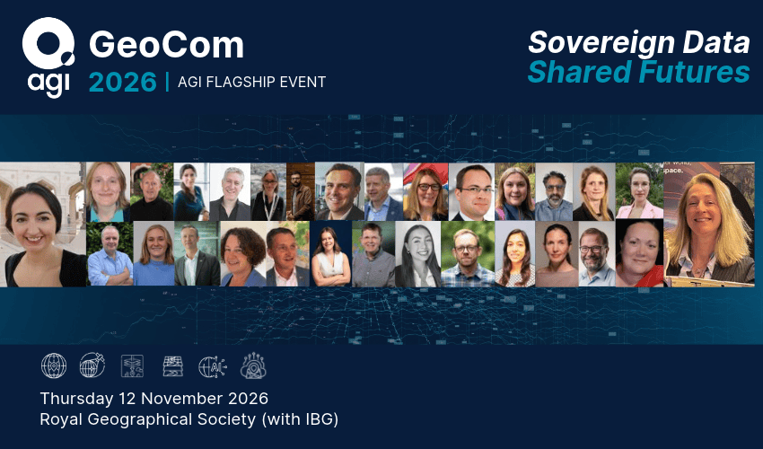
The Association for Geographic Information, the membership group for organisations and individuals working in the geospatial sector, has revealed a more detailed line-up for its GeoCom 26 Digital Sovereignty Conference. This includes focused panel discussions around the six interconnected forces that are reshaping geospatial, an open discussion on Women in Geospatial and challenges around fair representation at industry events, and a packed programme of presentations from some of the most authoritative voices on the geo stage.
GeoCom is the organisation’s annual conference and flagship event, and is the only independent event in the UK geographic information calendar that is organised for geospatial professionals by geospatial professionals. Under the theme ‘Sovereign Data, Shared Futures’, GeoCom 26 will explore practical, technological, and resilient solutions for the UK geo industry to evolve and maintain global leadership in location intelligence. GeoCom 26 will take place on the 12th November at the Royal Geographical Society (with IBG) headquarters in London.
Following on from last year’s AGI Foresight Conference, GeoCom will feature agora style panel discussions giving delegates the opportunity for lively debate and discussion around the transformational forces that are set to reshape geospatial to 2030. These include: Earth Systems Evolution led by Donna Lyndsay of Space4Climate, Collaboration in Geospatial led by Rachel Dale-Kemp of DEFRA, Interoperability and Infrastructure in Geospatial led by Lucy Butt of AtkinsRéalis, Data in the World of Geospatial led by Simon McLellan from the Met Office and Emma Bee from BGS, The Great Skills Shift led by Liz Fox-Tucker from Royal Geographical Society, and Artificial Intelligence Continuing to Grasp the AI Nettle led by Richard Flemmings of Map Impact.
An open to all lunchtime networking session led by Vida Williams of Jacobs and Claire Edwards from Natural England, will look at diversity and representation across geospatial, particularly at industry events such as GeoCom. This session will challenge the traditional version of authoritative voices and look at the role of membership organisations like the AGI. There will also be an invite only practical discussion ‘Sovereign by Design’ bringing Defence and Intelligence leaders together to examine the balance between control of sensitive data and the need to share it securely at operational speed.
The GeoCom 26 agenda also features an opening address from Professor Chris Johnson, Chief Scientific Adviser at the Department for Business, Innovation, Science and Trade (DBIST), and a keynote from Blythe Crawford CBE, Director Grail at Tiberius Aerospace. James Cheshire, Britain’s only Professor of Geographic Information and Cartography, will present the closing keynote, whilst other speakers include Charles Kennelly, Group CTO at Esri Holdings, David Henderson, Chief Geospatial Officer at Ordnance Survey, Pascal Coulon, Vice President Consulting Expert at CGI, and Michael Hanley and Louise Rezler of the Soil Association Exchange.
“It’s really exciting to see the GeoCom 26 programme coming to fruition,” commented Fergus Craig, Chair of the Association for Geographic Information. “In an age of uncertainty, digital sovereignty and geospatial leadership matter more than ever. GeoCom will explore the tension between sovereignty and openness, the technological challenges in capture, storage, and consumption of geospatial data without compromising resilience, and the impact of a volatile political landscape. And, with the support of our sponsors and the Royal Geographical Society for which we are enormously grateful, GeoCom 26 will also look at the importance of trust and ensuring processes and outcomes, are sustainable, ethical, and legal.”
Registration for GeoCom 26 is still open, although tickets are selling fast and sales will close on the 1st November. The AGI is also keen to express thanks to CGI, Esri UK, Ordnance Survey, AtkinsRéalis, Avineon Tensing, Daclour Maclaren, Idox Geospatial, Informed Solutions, MGISS, NEC Software Solutions. AGI is also working with its Community Sponsors – GEO Business, British Cartographic Society, Government Geography Profession, OSGeo:UK, and the Royal Geographical Society (with IBG), to deliver this event.