

The UK’s Streetworks and Roadworks sector has completed a Discovery Phase that kickstarts a plan to reduce the carbon emissions in all of its processes and products. This is the first part of the sector’s Road to Net Zero project – a roadmap for change that’s jointly sponsored by Transport for London (TfL) and the Highway Authority and Utilities Committee … Read More
AGI Northern Ireland Annual Conference – Registration Open!
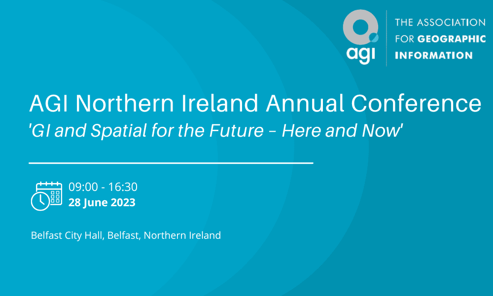
AGI Northern Ireland is proud to invite you to this year’s AGI NI Conference 2023: “GI and Spatial for the Future – Here and Now.”We are pleased to note that after two years of hosting the event virtually, Northern Ireland’s flagship GI conference will be held in-person on Wednesday, the 28th of June, at Belfast City Hall. Spatial technologies and methodologies … Read More
Havebury Housing introduces GIS to meet corporate strategy objectives
Cadcorp optimises housing association’s data management to enable more informed decision-making Havebury Housing Partnership has selected Geographic Information System (GIS), Cadcorp SIS, as part of its strategy to streamline business processes. The integration of GIS technology into the housing association’s operations marks a significant milestone in its journey towards becoming a more efficient and informed housing provider. Havebury’s core values … Read More
Children test mapping apps for Department for Education’s climate project
Emotion mapping helps young people understand their connection to nature Children from pilot schools tested innovative activities for the National Education Nature Park last week, at an event at RHS Garden Bridgewater, Manchester. Esri UK created mobile apps that enabled children to map their emotions along with what they saw, heard and smelt across the gardens and start learning some of … Read More
CGI secures position in the Sunday Times Best Places to Work List 2023
CGI (NYSE: GIB) (TSX: GIB.A) is delighted to announce that it has been recognised alongside other prestigious organisations in the Sunday Times Best Places to Work List 2023, with an 89% average engagement score and 14% above the average industry engagement rating when compared to other organisations in the IT industry. CGI, which was named alongside only ten other organisations … Read More
Streamlined Data Compliance with 1Data Gateway

Cambridge, UK, May 15th 2023, (www.1spatial.com) 1Spatial, the global provider of geospatial software and solutions for improved data governance, are pleased to announce improvements to their data submission portal, 1Data Gateway. The two latest releases further simplify data management within their platform and offer support for the ground-breaking new release of 1Integrate 4.0. 1Data Gateway now supports the much-anticipated release … Read More
Association for Geographic Information Headlines at GEO Business
The Association for Geographic Information (AGI), will take centre stage at GEO Business next month. The two-day event, which takes place on the 17-18th May at the ExCel London, will host 120 global brands and cutting-edge start-ups. The AGI will be presenting two main stage sessions, bringing together industry experts to explore the topic of ‘Professional Competency’ and presenting the … Read More
1Spatial join nima as a patron – With trusted data, great things happen
Cambridge, UK, May 2nd 2023, (www.1spatial.com) 1Spatial, the global provider of geospatial software and solutions for strong data foundations and data governance, is delighted to join nima (formerly UK BIM Alliance) as a bronze patron, helping make information management across our built and managed assets business as usual. nima’s vision is a thriving and sustainable built and natural environment transformed … Read More
Bluesky and Ecopia Partner to Create First 3D Map of Ireland
Leicestershire, UK, 25 April, 2023 – Bluesky International and Ecopia AI (Ecopia) have announced a partnership to develop the first ever 3D land cover map of Ireland. Generated using Bluesky’s 12.5 and 25 cm resolution aerial imagery and Ecopia’s AI-based mapping systems, this comprehensive, accurate, and up-to-date map of Ireland will enable the public sector and private organisations alike to make more … Read More
Save the date – AGI Cymru announce GeoCymru 2023
AGI Cymru is pleased to let you know that this year’s annual GeoCymru event will take place on 10th October in Cardiff. We will have a wide range of topics on Climate Change in Wales and this is an opportunity once again to meet and listen to our community and industry experts, network with other members and enjoy a full … Read More