

The Association for Geographic Information (AGI) has reached a new milestone in its remit to represent the UK geospatial sector. For the first time since new membership options were introduced, membership has exceeded 2,000. AGI membership is structured to ensure maximum benefit and opportunity across the profession and includes levels for individuals, starting at Network and rising to Professional, for … Read More
Democratising data and driving global sustainability with Open Maps for Europe

EuroGeographics is an international, not-for-profit organisation representing Europe’s National Mapping, Cadastral and Land Registration Authorities representing around 90% of the official bodies responsible for mapping, surveying and land registration in Europe.
Esri UK partnership helps local authorities plan active travel and low carbon projects

Esri UK today announced that AppyWay has joined its partner programme, giving Esri customers easy access to digital kerbside data for the first time. The move allows local authorities to better understand the UK’s complex kerbside restrictions when planning active travel and low carbon initiatives, including EV charge point, e-scooter or cycle hangar projects. Over two thirds of local authorities in England … Read More
Europa Technologies launches enterprise-grade OS NGD Address theme API
Europa Technologies has extended the address capabilities of its award-winning viaEuropa platform with API support for the Address Theme of the OS National Geographic Database (NGD). The company is the first Ordnance Survey Strategic Partner to offer such a service. The OS NGD is a new single store for all of Ordnance Survey’s authoritative data, which has been structured into … Read More
AGI Releases Exciting Line-Up for GeoCom 23
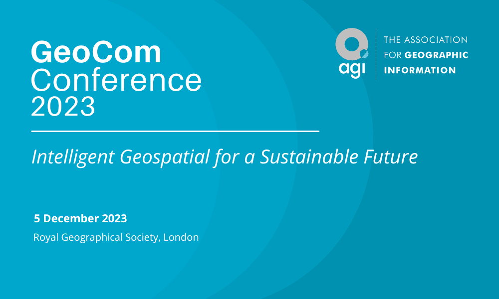
The Association for Geographic Information (AGI), has announced an exciting line-up of speakers and content for GeoCom 23, its flagship event. GeoCom is the largest independent event in the UK GI calendar which is organised for geospatial professionals by geospatial professionals. Under the theme ‘Intelligent Geospatial for a Sustainable Future’, this year’s event will feature a keynote presentation from Google’s … Read More
Anglian Water Alliance Streams Bluesky Aerial Mapping for Web App
Leicestershire, UK, 01 November 2023 – An alliance that is delivering £1.2 billion of capital investment schemes for the UK’s Anglian Water is streaming aerial maps to improve decision making, with the aim of reducing site visits. The @one Alliance, a partnership consisting of seven companies who each provide specialised knowledge, is using the Bluesky data-as-a-service offering GeoStream to deliver … Read More
National Highways recognised for geospatial innovation by Esri global award
National Highways is the only UK winner of an Esri Special Achievement in GIS Award, having won the accolade for its innovative use of geospatial technology, enabling a quicker response to incidents on the road network. The award was made at the Esri annual User Conference in California, one of the world’s largest geospatial industry events, attracting almost 40,000 attendees. Special Achievement in … Read More
CGI and Delta Wellbeing successfully launch ground-breaking digital alarm-receiving and monitoring platform across Wales
CGI, (NYSE: GIB) (TSX: GIB.A) one of the largest IT and business consulting services firms in the world, has partnered with Llesiant Delta Wellbeing, a centre of excellence for Technology Enabled Care Services (TECS), in the development of a cutting-edge digital monitoring and response system. The new digital platform, which has been successfully launched two years ahead of the 2025 … Read More
CGI, Eutelsat OneWeb and Icomera to pilot improved broadband communications for train travel through seamless hybrid satellite and terrestrial networks
CGI (NYSE: GIB) (TSX: GIB.A) is running live trials to demonstrate how integrated low-earth orbit satellite and terrestrial communications networks can provide seamless, low latency broadband connectivity on Britain’s rail network. The pilot, run with partners Eutelsat OneWeb, part of the Eutelsat Group, the world’s first GEO-LEO satellite operator, and Icomera, a leading provider of integrated connectivity solutions for public transport … Read More
AGI Welcomes Satellite Applications Catapult as Associate Member
The Association for Geographic Information (AGI) welcomes Satellite Applications Catapult as a new Associate Member. Part of the UK Catapult Network, the Satellite Applications Catapult is one of ten world leading technology and innovation centres established by Innovate UK. The Satellite Applications Catapult is at the heart of the satellite services revolution, driving take-up of space technology and applications by … Read More