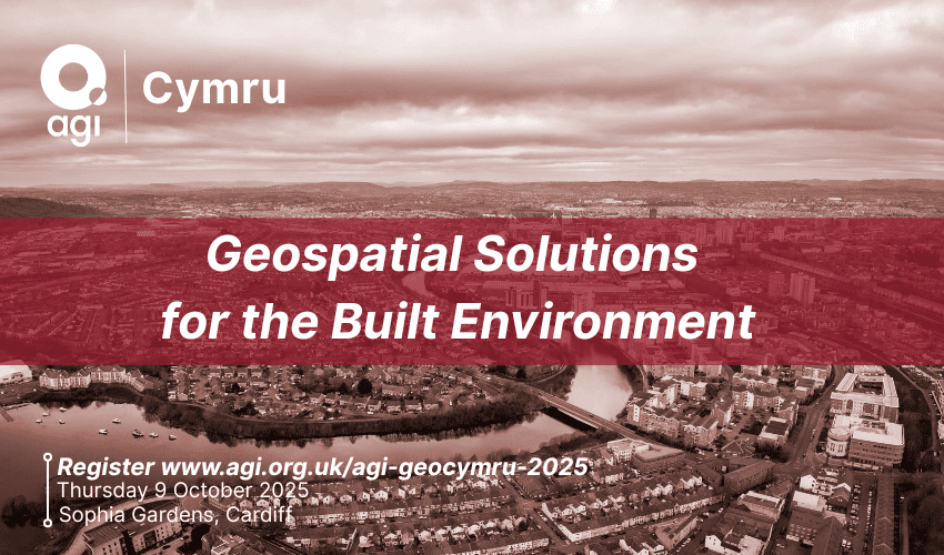
On Thursday 9 October, AGI Cymru welcomed the geospatial community from across Wales — and beyond — to GeoCymru 2025 at Sophia Gardens, Cardiff. The event focused on “Geospatial Solutions for the Built Environment”, bringing together experts from academia, government, and industry to share insights, innovations, and practical applications of location data in planning, infrastructure, and sustainability.
This year’s event also marked ten years since the Well-being of Future Generations (Wales) Act, offering a timely opportunity to reflect on how geospatial thinking has supported more inclusive and forward-looking decision-making.
The programme featured a fascinating keynote from Professor Scott Orford (Cardiff University) on the Public Map Platform, highlighting community-led mapping in Ynys Môn. The day concluded with Gayle Lister (Pembrokeshire Coast National Park Authority) presenting on conserving Wales’ dark skies through spatial planning.
Other speakers included:
Nicolas Kinsella (Ulster University) – Methane super-emitters and satellite tracking
Richard Flemmings (Map Impact) – Climate risk in the built environment
Joe Hillard (National Trust) – The HART Programme
James Wardroper (Ordnance Survey) – National Underground Asset Register (NUAR)
Hannah Brooks (GeoPlace) – Policy principles for address data
Interactive sessions and exhibitor stands gave attendees the chance to engage directly with the tools and projects driving geospatial innovation across Wales.
The day wrapped up with GeoDrinks, offering a relaxed space for networking and reflection.
A huge thank you to our sponsors — Esri UK, CGI, Europa Technologies, Astun Technology, Bluesky, Avineon Tensing, and GeoPlace — as well as to our speakers and everyone who attended for making GeoCymru 2025 a success.
AGI Members can login and head to Member Resources to view the event presentations and photos.