For many years GeoData have regularly delivered face to face GIS training courses across ArcGIS, QGIS and MapInfo software.
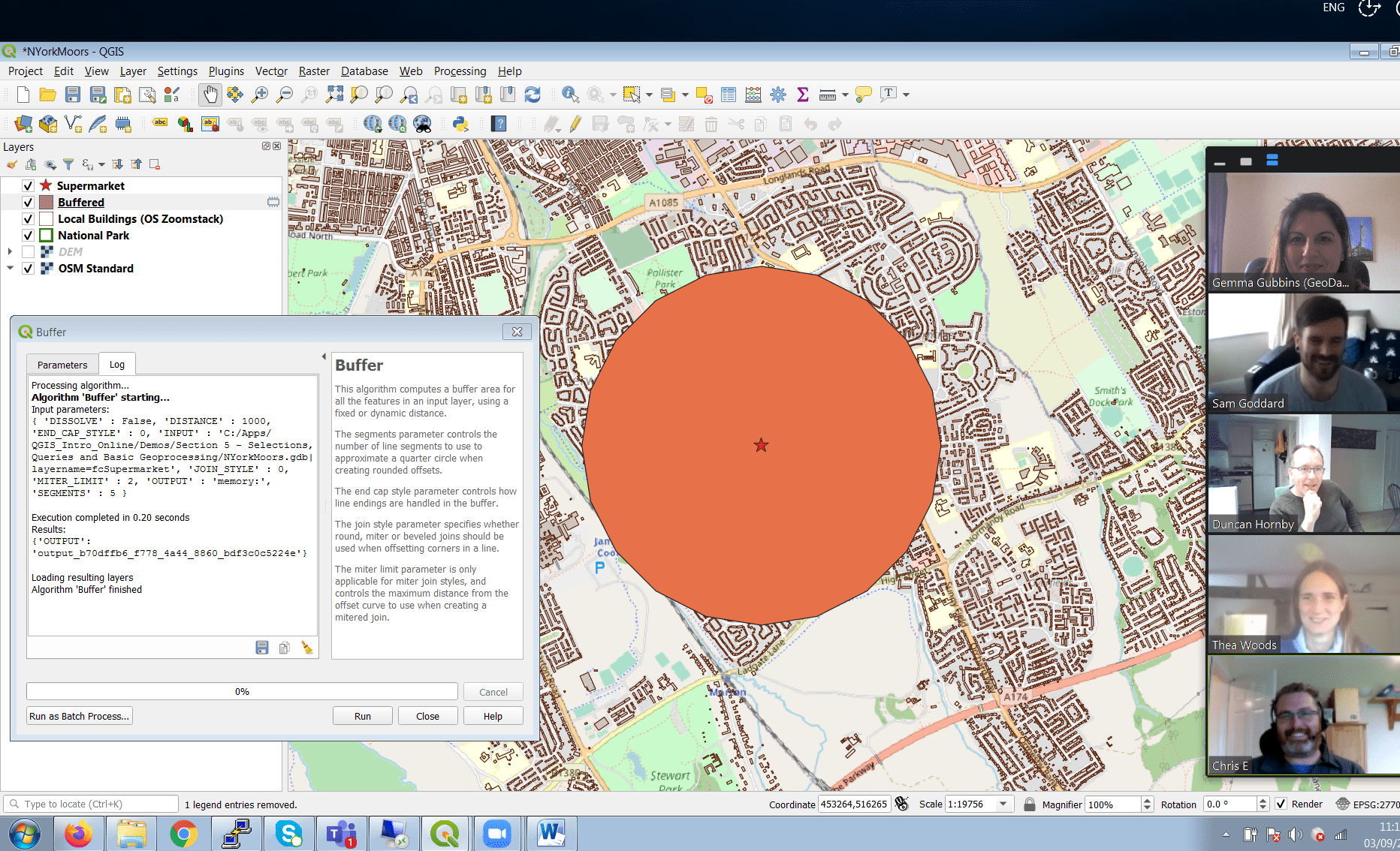
These courses are usually taught onsite at the University of Southampton or at client offices. Due to the pandemic GeoData moved content online to continue delivering training. The first scheduled course was Introduction to QGIS. This ran in August and was well received with lots of positive feedback from the delegates.
An initial connection test session was arranged to confirm all delegates were able to use the online video conferencing tools and also that the GIS software was installed and the data for the course had been downloaded. The method of delivery was 3 half days (9am to 12 midday) followed by a 1 hour individual session for each participant to work through their own data and questions. The course was delivered via a series of presentations and demos mixed with time for delegates to complete exercises. Screen sharing was used and delegates were all happy to engage in discussions together much like in a real face to face classroom situation. The aim of the delivery was to try and replicate the face to face environment as much as possible, so the delegates felt part of a class and shared a joined learning experience.
Due to the success of this course GeoData is looking to move more of their courses online. If you are interested in GIS training please visit www.geodata.soton.ac.uk or contact the GeoData Training Administrator at training@geodata.soton.ac.uk.

Disclaimer: The publication of AGI member press releases is a member service. The AGI neither approves or endorses the contents of a member’s press release, nor makes any assurance of their factual accuracy.

