

Leicestershire, UK, 16 June 2022 – A Dublin based architectural consultancy is using data from aerial survey and mapping company Bluesky International to ensure the planning process is conducted as efficiently and smoothly as possible for its clients, even when the build locations are in areas of environmental importance such as UNESCO sites. Dublin Design Studio is an award-winning architecture … Read More
Scottish Government GIS Marine Data contract awarded to OceanWise

Hampshire based OceanWise Limited who provide marine and coastal mapping worldwide, are very pleased to announce that they have just been awarded the framework agreement for the provision of GIS Marine Data to the Scottish Government until 2026. Janet Lockey, Key Account Manager for OceanWise comments: “We are really pleased to be supplying our range of Marine Mapping Data products … Read More
Esri UK launches careers resources to inspire more students to study geography and GIS

New website tackles outdated stereotypes about careers in geography 10 June 2022 – Esri UK today announced a new Careers with GIS website, designed to inspire more students to study geography and GIS at GCSE, A-level and degree level, by highlighting the rewarding and exciting careers that these subjects unlock. Containing stories from real professionals working with GIS, from drone pilots and engineers … Read More
AGI Northern Ireland Annual Conference – Registrations Open
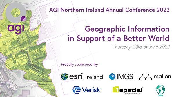
AGI Northern Ireland (AGI NI) is the premier body representing the geographic information (GI) community in Northern Ireland and raising GI awareness in the region. To that end, we are proud to open registration for this year’s “AGI NI Conference 2022 – Geographic Information in Support of a Better World.” Taking place on Thursday 23 June, conference speakers will touch … Read More
Bedfordshire Fire and Rescue Service select Cadcorp GIS for customer insight project
Cadcorp software will provide fire service with greater flexibility to query and visualise risk data Bedfordshire Fire and Rescue Service (BFRS) has selected Cadcorp SIS as its Geographic Information System (GIS). The project includes desktop GIS, fire modelling applications, cloud hosted web mapping, consultancy services and training. The Bedfordshire Fire and Rescue Authority had a requirement for an application to … Read More
AGI Scotland Member Social Evening – Registrations Open
Registrations are open for the AGI Scotland Member only Social Evening on Wednesday 29 June 2022. Join us in-person at 6pm at Codebase, 37a Castle Terrace, Edinburgh EH1 2EL pre-quiz drinks, nibbles and geochat or virtually when the quiz commences at 7pm. Unwind with geo colleagues and have some pub quizzing fun! This event has been made possible by our generous sponsorship from … Read More
Where are all the ‘Queen’s’ streets and buildings?
GeoPlace has marked the opening of the Queen’s Platinum Jubilee week by mapping street and building names containing ‘Queen’, ‘Jubilee’ and ‘Queen Elizabeth’. GeoPlace works with every local authority in England and Wales. Local authority Address and Street Custodians from these authorities sent us names from right across the country that mark the Queen’s Platinum Jubilee. Using this data, we put together … Read More
Learning to love zero touch services
The drive for businesses to constantly transform their operations is relentless, and in this blog we discuss the trend of zero or light touch digital channels. Whilst business strategists promote digital first through transformation they often fail to consider the employees and customers who either won’t or can’t engage with the digital first trend. What opportunity are organisations potentially missing … Read More
1Spatial unveils new Schema transformation capabilities for rules engine

Cambridge, UK, 23rd May 2022, (www.1spatial.com) Global software and solutions leader, 1Spatial is improving their platform, adding a variety of new capabilities to their patented rule engine technology. Changes in 1Integrate 3.3 include new non-spatial filter conditions to open subsets of data, improved schema transformation and the ability to commit changes back to GeoPackages and ESRI File Geodatabases, avoiding the … Read More
The sustainability power of space-based technology
Sustainability is not the first thing that springs to mind when you think about the benefits of using space-based technology in industry. But the reality is that it underpins sustainability solutions every day. This is great news both in terms of reducing our impact on the planet and for industries that are facing increasing requirements from the public, stakeholders and … Read More